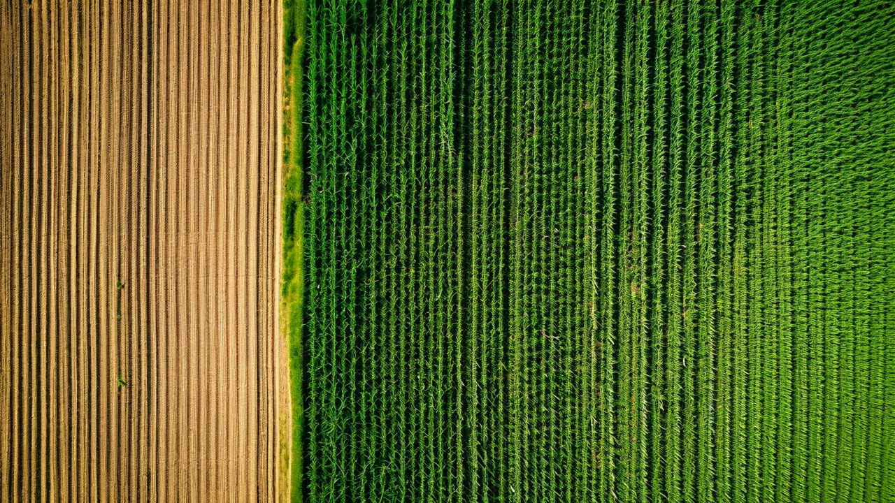
CropMind combines satellite imagery, soil sensors, and weather data to give growers field-level intelligence. Know which zones need attention before problems become losses.
Each capability runs continuously during the growing season. They share data with each other so a disease alert in one field updates the irrigation schedule for neighboring zones.
Weekly multi-spectral satellite passes combined with ground sensor readings give you NDVI, canopy temperature, and biomass estimates at the sub-field level.
Irrigation recommendations based on soil moisture sensors, evapotranspiration models, and 7-day precipitation forecasts. Manage by zone, not by field.
Early warning alerts when spectral signatures suggest fungal pressure, insect damage, or nutrient stress. Catch it early when the intervention cost is lowest.
Pre-harvest yield estimates by field zone based on growing degree days, crop stress history, and historical performance data. Plan logistics before you cut.
No marketing department reviewed these. These are farmers describing what changed.
"We caught a gray leaf spot outbreak six days before I would have seen it walking fields. Treated it, kept yields intact. That one alert probably paid for the whole year."
"The irrigation recommendations cut our water use by 19% last season. We are in a drought-declared county. That is not a small thing."
"Yield estimates were within 4% of actual at 30 days out. That let us lock in a forward contract at a good price. We have not been able to do that with any confidence before."
Request a demo and we will pull satellite data from your actual fields. You will leave the call knowing more about your land than you did when you started.
Request a Demo