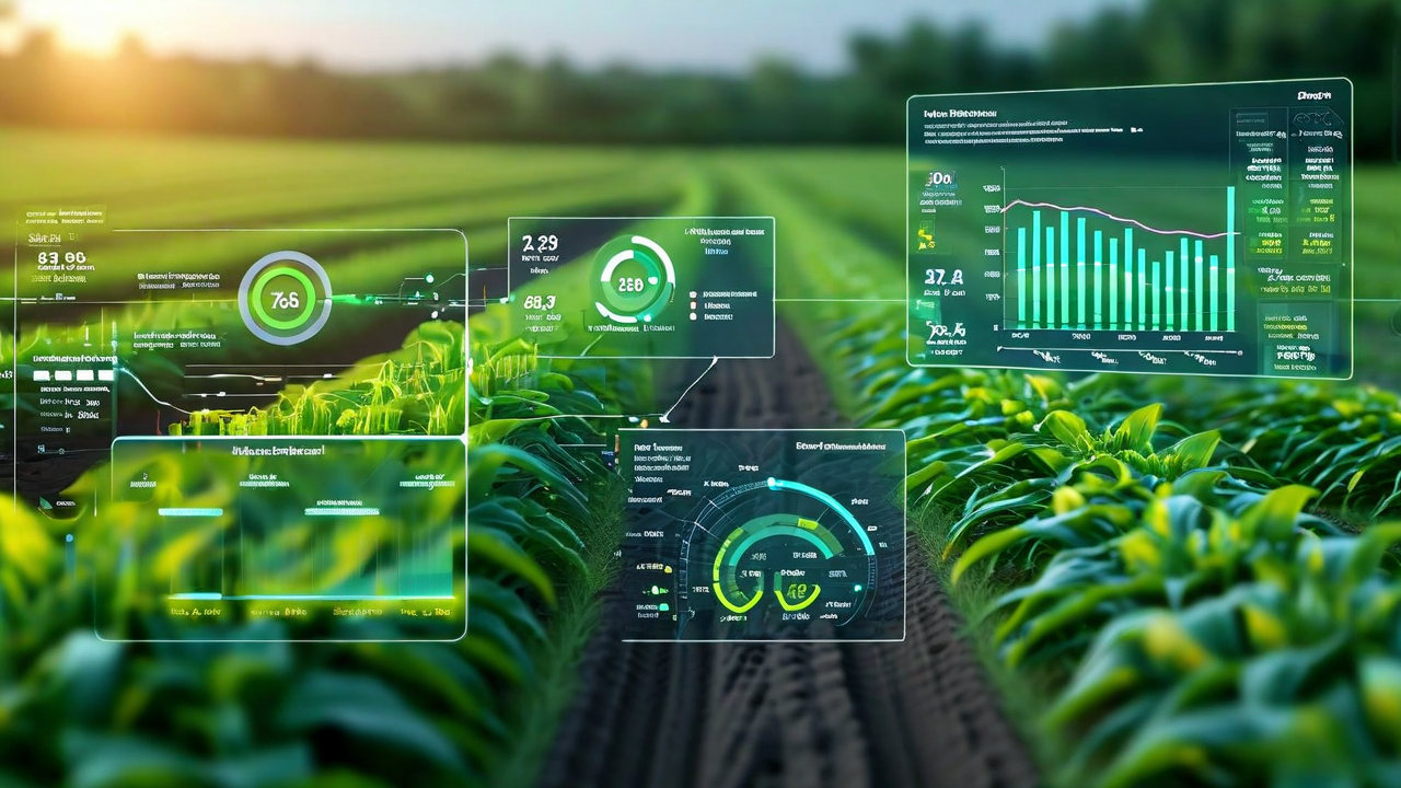
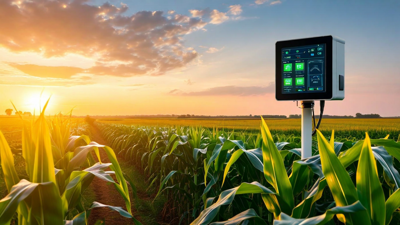
CropMind Adds 30-Day Granular Yield Forecasting for Corn and Soybeans
New model version improves pre-harvest yield estimates to within 4% for corn and 5.5% for soybeans. Based on three seasons of field validation data across 400 farms.
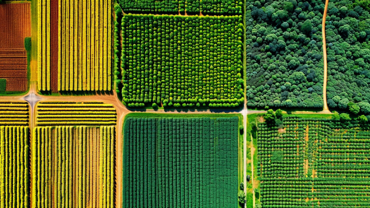
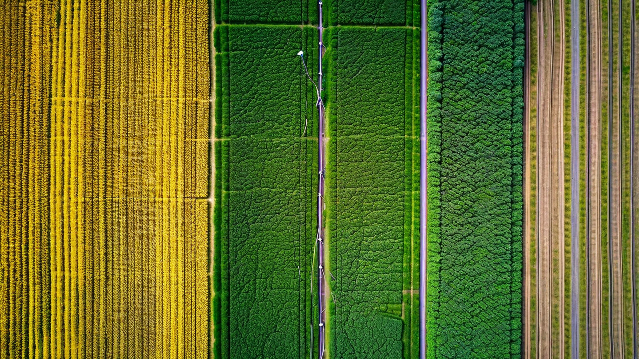
Satellite Imagery Resolution Has Changed: Here's What It Means for Crop Monitoring
Commercial satellite constellations now deliver multispectral imagery at 3 to 5 meters per pixel at 3-day revisit intervals. Here is what the resolution jump changes for in-season monitoring.
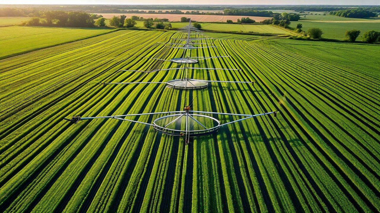
The Irrigation Scheduling Problem That Wastes 30% of Farm Water
Calendar-based irrigation scheduling wastes water at scale. An analysis of what drives the overcorrection and how operations are cutting water use 20 to 30% without yield loss.
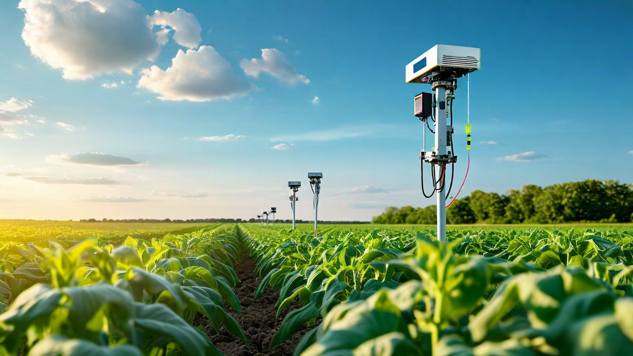
How Satellite Revisit Frequency Affects Disease Detection Lead Time in Row Crops
Internal analysis across 1,200 fields shows that 3-day satellite revisit intervals catch fungal stress signatures 4.2 days earlier on average than 7-day revisit schedules.
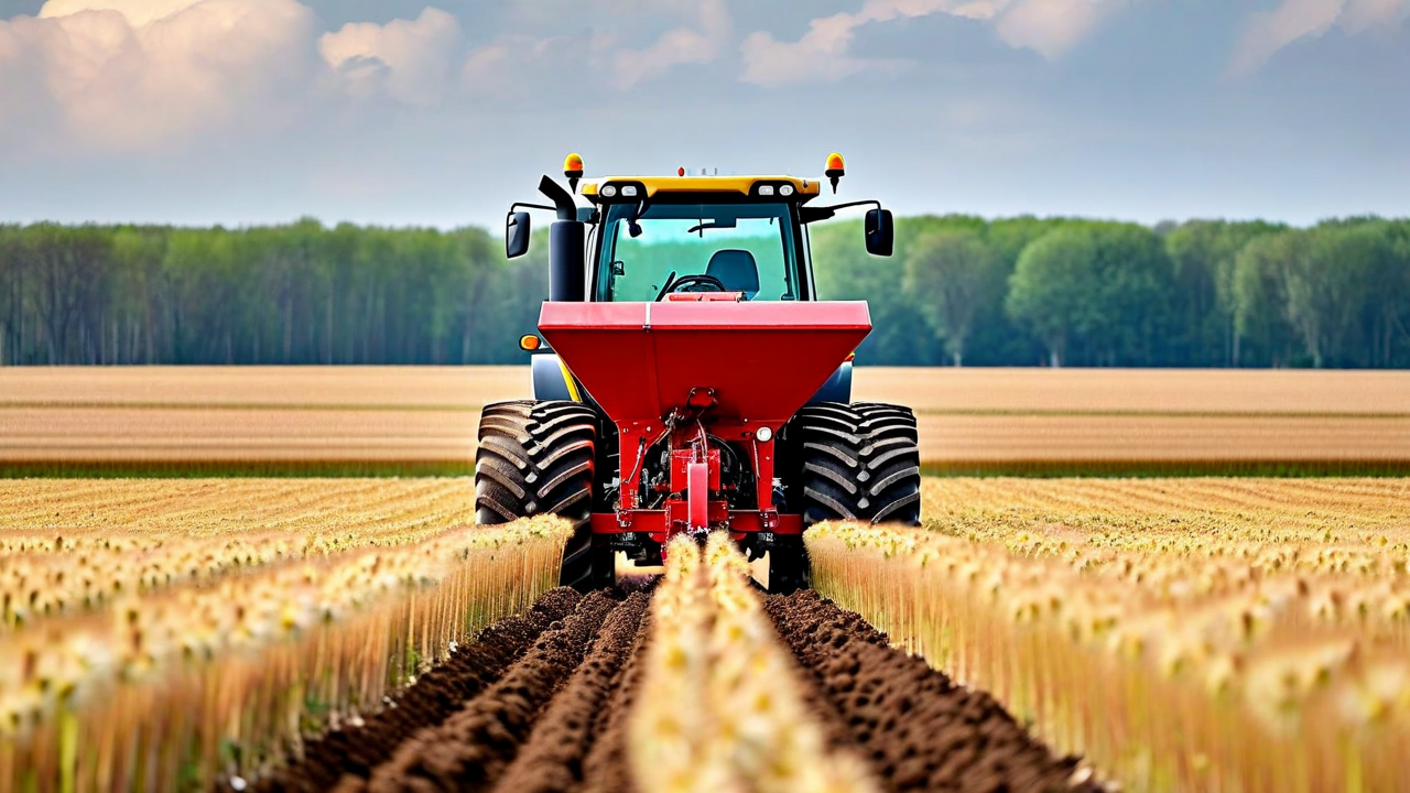
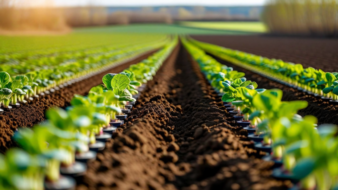
How an Iowa Corn Operation Increased Yield 18% With Variable Rate Seeding
A 2,800-acre Boone County operation moved from flat 34,000 seeds per acre to a zone-based prescription. Two-season results with full cost and yield accounting.
A Minnesota Grain Operation Used CropMind to Lock in Forward Contracts 30 Days Before Harvest
With yield estimates within 3.8% of actual output, Dale Schreiber's operation was able to contract grain at favorable summer prices for the first time in a decade.
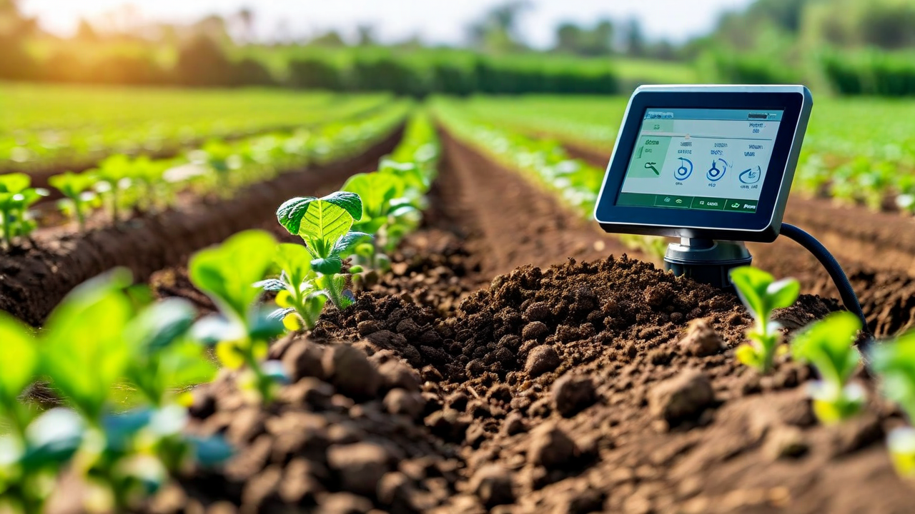
Why Soil Sensors Alone Don't Give You the Full Picture
Sensors measure one point in one soil layer. Understanding what they miss and how to combine sensor data with canopy and weather sources for reliable irrigation decisions.
The Data Ownership Question Every Farmer Should Ask Their AgTech Vendor
Your operation generates commercially valuable data every season. The questions to ask before you upload yield maps, application records, and soil data to any platform.
Pest and Disease Detection From Drone Imagery: What's Actually Possible in 2026
An honest assessment of what multispectral drone imagery can and cannot detect reliably in production field conditions, and how to build a program that delivers real value.
Precision Agriculture ROI for 500-Acre Operations vs 5,000-Acre Operations
The economics of precision ag look different depending on your scale. An honest breakdown of where the numbers work at each size, and where the case is weaker than vendors typically admit.