The marketing around drone-based disease detection is running ahead of the actual science in a few areas, and that matters because farmers who invest in drone programs based on overstated capabilities end up disappointed. At the same time, there are areas where drone imagery genuinely outperforms traditional scouting, and those are worth knowing about. This is an attempt at a straight-line account of where drone-based detection stands heading into the 2026 growing season.
What Works Reliably
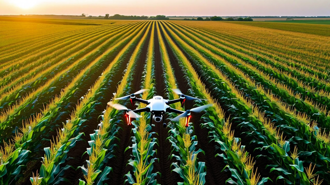
Canopy stress mapping is the most validated use case for drone imagery in production agriculture. A drone equipped with a multispectral sensor can produce an NDRE or NDVI map of a 160-acre field in under 45 minutes at resolutions of 5 to 10 centimeters per pixel. At that resolution, stress zones as small as half an acre are detectable. A trained operator reviewing the output can identify zones with anomalous spectral signatures and direct in-person scouting to those locations, reducing the total area that needs to be walked from 160 acres to 15 to 20 acres in a typical scouting event.
Gray leaf spot and northern corn leaf blight produce detectable spectral changes at the V10 to VT growth stages when lesion coverage exceeds roughly 3% of the canopy. In university validation trials conducted in Iowa and Illinois between 2022 and 2024, multispectral drone detection at those growth stages achieved 84% sensitivity and 79% specificity for gray leaf spot identification compared to ground-truth scouting. Those numbers are good enough to trigger a targeted scouting visit; they are not good enough to justify an automatic fungicide decision without ground confirmation.
Uniform stand emergence issues are detectable very early, typically within 10 days of expected emergence. Drone mapping at this stage reliably identifies skips, low-emergence zones, and areas with emergence delay of three or more days. This information feeds directly into replant decisions and in-season management zone adjustments.
What Does Not Work as Advertised
Pest detection at the individual insect level is not currently a reliable production capability. Demos showing aphid colony detection from drone imagery work under controlled conditions with high colony density and specific lighting. In a production field setting with variable canopy structure, wind, and normal imaging altitude of 30 to 60 meters, individual pest colony detection has a false positive rate that makes it unreliable for management decisions. If a vendor is selling you aphid or spider mite detection from standard multispectral imagery, ask to see validation data from production fields, not demo plots.
Specific pathogen identification from imagery alone is not currently reliable. A drone map can show that a field has canopy stress in the northwest corner. It cannot reliably distinguish between tar spot, gray leaf spot, and anthracnose stalk rot at V14. Those diseases have overlapping spectral signatures that require either hyperspectral imaging or ground-level diagnosis to differentiate. Multispectral systems detect stress; pathogen ID still requires boots in the field.
Late-season disease detection is also less reliable than early-to-mid season detection. By R3 to R4 growth stages in corn, the canopy is dense enough that lower-canopy disease, including stalk rots, is largely invisible to drone sensors. Stalk health monitoring at that stage still requires manual assessment, specifically the push test and pinch test that every agronomist knows.
Integrating Drone Data With Satellite Monitoring
Drone and satellite data serve different roles and they complement each other when used together. Satellite gives you whole-farm coverage on a regular cadence at lower resolution. Drone gives you high-resolution spot checks on specific fields or zones.
The workflow that works best in our experience: use satellite data at weekly intervals to identify fields showing anomalous stress signatures across the whole operation. When a field shows a developing anomaly on satellite, dispatch a drone flight for high-resolution characterization of the affected zone. Use the drone map to generate a precise scouting GPS route for ground confirmation. This approach dramatically reduces the time and cost of reactive scouting while maintaining the ground-truth verification that management decisions require.
On a 3,000-acre operation, this workflow typically reduces total field scouting hours by 40 to 55% compared to calendar-based scouting rotations. If a scout or agronomist is billing $45 to $65 per hour, the time savings over a full growing season can easily offset the cost of a basic drone program and software subscription.
Regulatory and Operational Considerations
Commercial drone operations for hire require a Part 107 certificate under current FAA rules. If you are contracting scouting services, confirm the operator is certified. If you are operating your own drone for scouting, recreational rules do not apply if you are using the data for a commercial agriculture operation, even on your own land. Part 107 certification requires a written knowledge test and is obtainable in 4 to 6 weeks of study for most people.
Operational constraints matter for scheduling. Meaningful multispectral data requires flights within a few hours of solar noon with cloud cover below 30%. Wind above 15 mph compromises image quality at standard survey altitudes. These constraints mean that in an active spring scouting period with variable weather, available flight windows may be less frequent than you expect. Building drone flights into your scouting calendar requires flexibility and backup plans for missed windows.
What Is Coming
Hyperspectral drone sensors, which capture many more spectral bands than standard multispectral cameras, are showing genuine promise for pathogen-specific detection in research settings. Current hyperspectral sensors cost $20,000 to $60,000 and are primarily used in research. As costs come down over the next three to five years, pathogen-level specificity from drone imagery will become more accessible. We are watching this closely because it changes the value proposition for in-season disease management significantly.
See How CropMind Integrates Drone and Satellite Data
We work with operators who bring their own drone data and with farms that use our partner scouting services. Request a demo to see how the integrated workflow looks for your operation size and crop mix.
Request a Demo