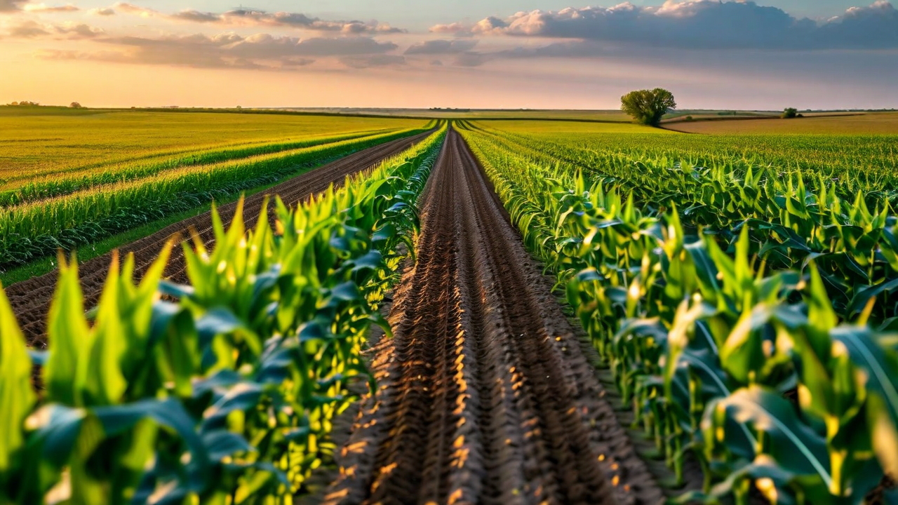
Every Data Source Your Fields Produce, in One Place

CropMind combines satellite imagery, soil sensors, weather stations, and agronomic models into a single dashboard that tells you what to do and when to do it.

Data Sources

Multiple Inputs. One Clear Picture.

We pull data from satellites, ground sensors, weather networks, and your own equipment. The platform reconciles conflicting signals and gives you an integrated view of field conditions, not a stack of separate dashboards.

  • Multi-spectral satellite passes, 3-5 day revisit
  • Soil moisture and temperature sensors
  • Hyperlocal weather station integration
  • Equipment telemetry from major OEM brands
  • Historical yield maps and soil test data
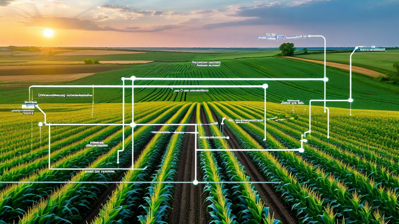
Data sources integration diagram -
Field Intelligence

Zone-Level Analysis, Not Field Averages

Averaging across a 400-acre field hides the problems. CropMind segments your fields into management zones based on soil type, elevation, and historical performance. Alerts and recommendations apply to the specific zones that need them.

  • Automated management zone creation
  • NDVI and vegetation index trending by zone
  • Stress heat maps with temporal comparison
  • Side-by-side current vs. historical imagery
Zone-level field map -
Recommendations

Specific Actions, Not Just Alerts

An alert that says "nitrogen stress detected" is not useful by itself. CropMind pairs every alert with a recommended action, the agronomic reasoning behind it, and an estimate of what happens if you wait three more days.

  • Actionable recommendations tied to each alert
  • Risk of delay estimates for time-sensitive issues
  • Product and rate suggestions by zone
  • Application log that ties back to outcomes
Recommendation workflow -

Built for Working Farms

We know that a farmer in western Iowa does not want to spend 45 minutes learning new software during planting season. CropMind is designed to be useful from day one.

Works on Any Device

Full functionality on desktop, tablet, and phone. The mobile view prioritizes the alerts and field map - because you are usually checking from a truck, not an office.

Low-Bandwidth Mode

Rural connectivity is not great. CropMind caches your field maps and syncs updates in the background when you have a signal. You do not lose access in the field.

Integrates With Your Equipment

John Deere Operations Center, CNH AFS, and AGCO telemetry data flows into CropMind automatically. No manual data entry for what your machinery is already recording.

Support from People Who Farm

Our support team includes former agronomists and crop consultants. When you call with a Scope 3 question - we mean a soil question - you get someone who has stood in a corn field.

Ready to See Your Fields Differently?

Book a demo and we will pull satellite data from your actual operation. No slides, no generic screens - your fields, your data.

Request a Demo